

The only app you need for the trail
Easily navigate, plan your hiking days, find the right hotels and get the most out of the Cumbria Way


Features

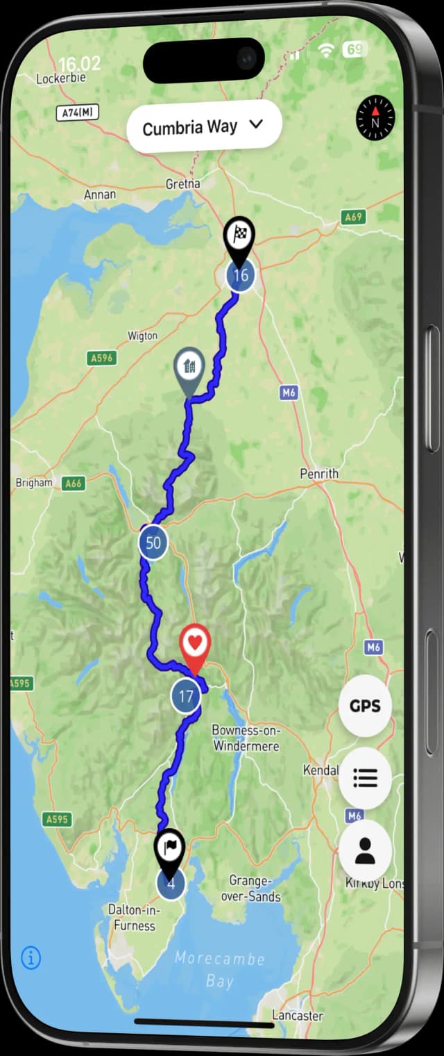
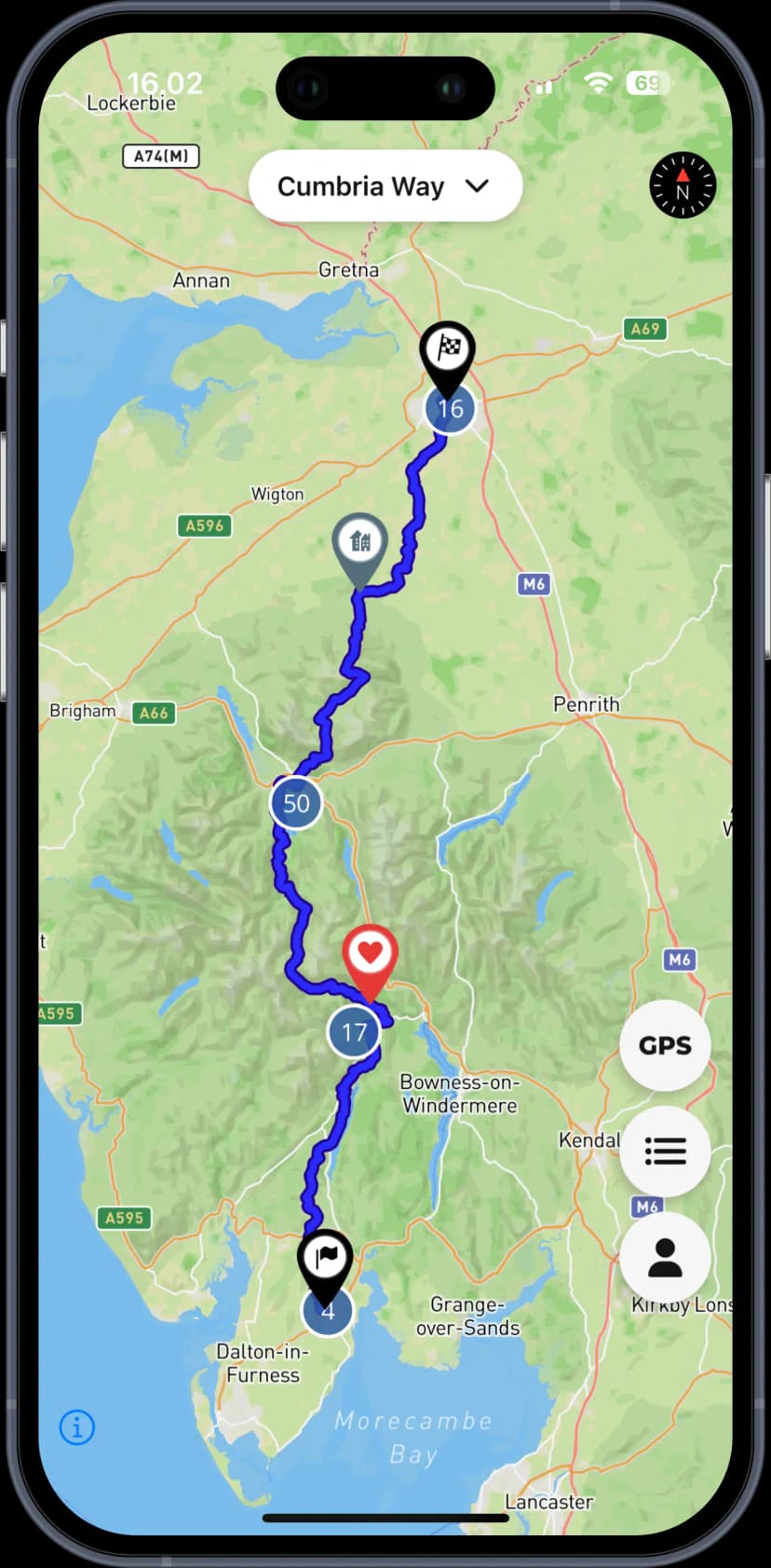
Easy navigation
High-quality GPS data for Cumbria Way, alternate routes and shortcuts

Never miss a thing
200+ points of interest including hotels, restaurants and sights

Offline map support
Downloads the map to your phone so you can worry less and hike more
navigate
Navigate totally offline
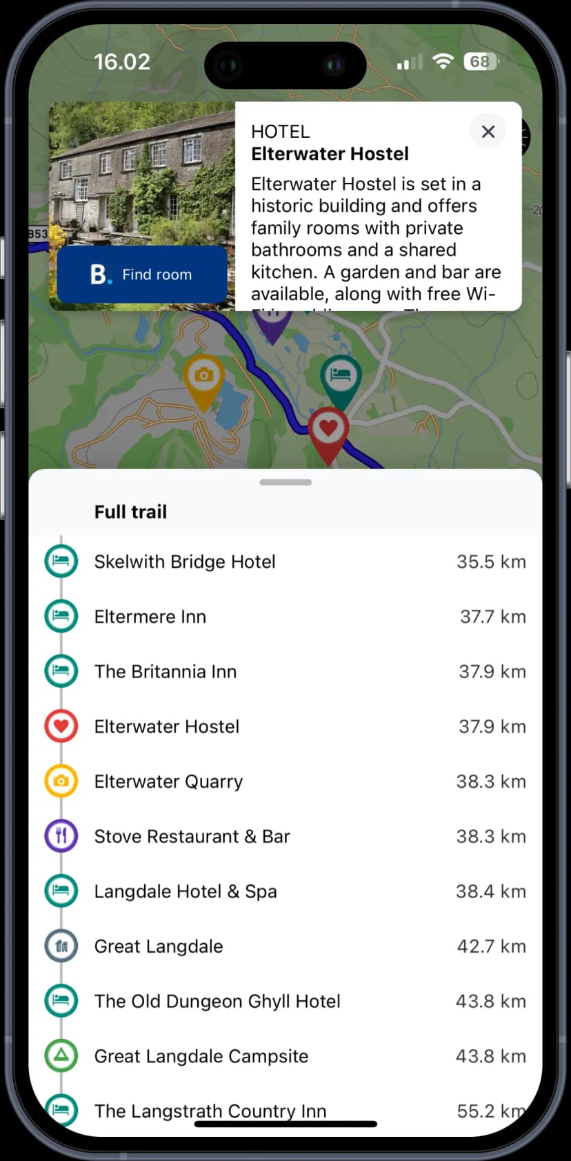
Easily stay on trail, discover sights, find the best hotels and plan detours - all working offline
discover
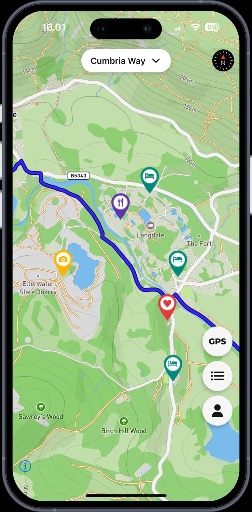
Find whatever you need
Browse the 200+ points of interest along the entire trail. Find hotels camp sites, restaurants & more
decide
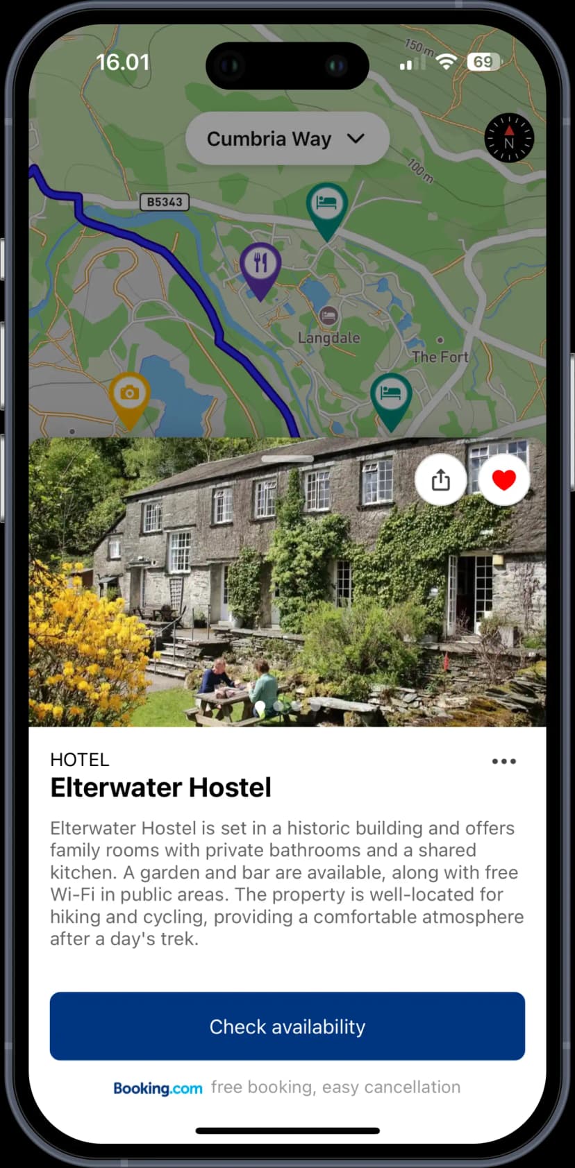
Detailed map descriptions
Read hiker descriptions of hotels, sights and restaurants so you can decide where to go
plan
Planning made easy
Easily keep track of your progress throughout the day and plan your stops along the way
Where to stay?
Try our Planner to plan your Cumbria Way - find hotels and campsites and create your personal plan.
Plan your trip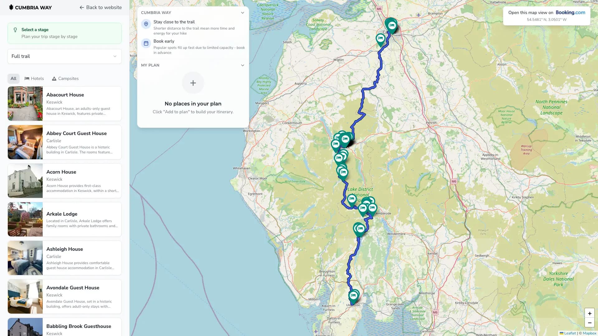
Frequently Asked Questions
How do I download the app?
The app is available for download on Apple App Store (Android coming soon)
How long is the Cumbria Way?
The Cumbria Way runs about 112 km (70 miles) from Ulverston in the south to Carlisle in the north.
How many days does the Cumbria Way take?
Most hikers finish in 5 to 7 days, with comfortable daily distances through the Lake District valleys.
When is the best time to hike the Cumbria Way?
May through September is the main season; summer has longer daylight but more people on popular sections.
Does the app work offline?
Yes. You can download the map data once and navigate the full trail without cell coverage.